


Pajottenland Walking Network
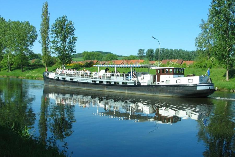
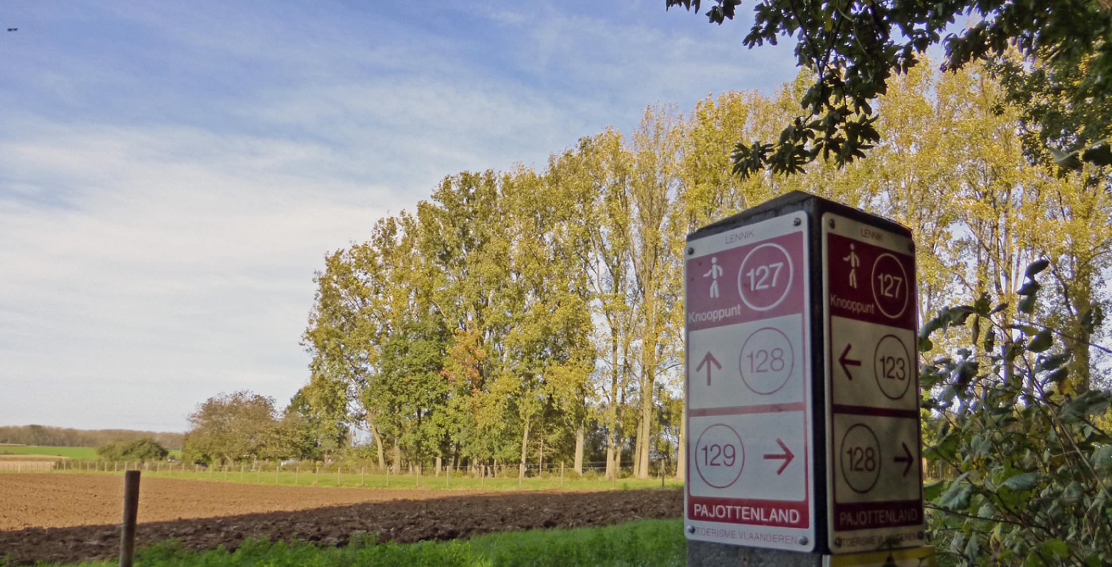
This network is the perfect way to explore the idyllic Pajottenland on foot. It offers endless possibilities for combining paths and takes you through beautiful villages and landscapes. Along rolling fields you will find hedgerows and pollard willows, farm tracks, ditches and grassy slopes. The fertility of the land is reflected in square farmsteads, watermills, picturesque churches, prosperous villages and castles.
The walking network comprises 900 kilometres of walking trails.
Forests of Brabant Walking Network
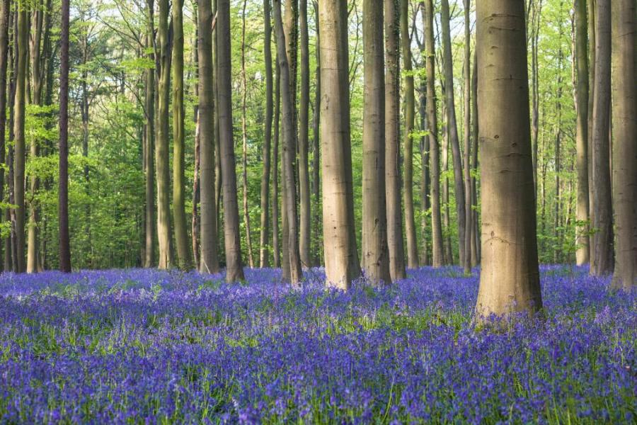
The Forests of Brabant form a patchwork of ancient forests, meandering rivers, sunken lanes and open fields. A wonderfully green region in the heart of the country, close to Leuven and Brussels, where you can escape the hustle and bustle of the cities and truly unwind. So close, yet so far away. It is an area where nature has the potential to grow stronger, while still leaving room for agriculture and sustainable recreation. The key ingredients for a national park in the making.
The walking network comprises 920 kilometres of walking trails.